")


En marge
- In the margins ... Landscape and biodiversity of abandoned and infrastructural shoulders of the Eurometropolis Lille-Kortrijk-Tournai
In the margins ...
Landscape and biodiversity of abandoned and infrastructural shoulders of the Eurometropolis Lille-Kortrijk-Tournai
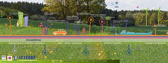
This research illuminates the functions, the conditions and the forms of emergence of a new category of public spaces, that their size and their metropolitan dimension encourages the authors to qualify rather like "public territories": the vast spaces of margin which are formed between city and major transport infrastructure. These shoulder spaces are articulated with more or less significant thicknesses of abandoned and residual spaces, sometimes occupied by agriculture, industry, commercial activities, major sports or technical equipment, or wastelands. Although totally unplanned, these frankly framed spaces are perhaps a major element of the contemporary urban landscape, and question how we view the relationship between city and environment. The analysis focuses on a territory marked by innumerable interfaces between city and infrastructure: the Eurometropolis of 2 million inhabitants which is constituted between France and Belgium, around the three urban centers of Lille, Kortrijk and Tournai. It requires the knowledge and explorations of a cross-border and multidisciplinary scientific team, associating landscapers and urban planners, photographers and pedologists, botanists, zoologists and ecologists.
These spaces of infrastructural margins are apprehended successively through the prism of their history, the uses that take place, their aesthetic perception, their ecology, their landscape value and the management constraints that define them.
The historical analysis highlights a periodization around a type of landscape production little known, that of plantations and landforms related to major infrastructure. The consultation of numerous motorway, rail and river archives has allowed to trace the history of the studied infrastructures and their landscape accompaniment, witnesses of a slow evolution of the doctrines of development going from an initially very "gardening" conception of the infrastructural landscape to a contemporary "managerial" conception. The rediscovery of the initial planting plans also makes it possible to gauge the biological evolution of the planted spaces and to understand to what extent the scale to which these spaces can be effectively composed can only be territorial.
The analysis of uses at the edge of large infrastructures was based on a double work of physical exploration of about twenty very different situations and modeling based on multiple criteria, which seem to play a determining role in the more or less strong ownership of these spaces: their proximity to the city, their level of afforestation, their slope relative to inhabited land, their "discreet" accessibility, the presence of an associated sewerage network, a bike network nearby, etc. All these criteria have highlighted, along the infrastructure a real network of public spaces in training, hosting very ordinary social uses such as the robinsonnades of the youngest, walking with the dog, jogging, mountain biking, but also daily trips to the nearest facilities.
The aesthetic analysis is put into perspective with the emergence of an aesthetic of the wasteland, proposing a critique of urbanism by focusing perception on fragments of landscape that, by nature, escape perception. This is the case of the verges, which slide along the user's view of the infrastructure, or are lost on the horizon of the urban peripheries. To apprehend this aesthetically paradoxical landscape, photographic reports are made inside the verges, and submitted to all the members of the research team. The legend of the images makes it possible to identify some points of convergence in the ways of looking at these spaces and in the values attributed to them.
The environmental analysis initially focused on a modeling of ecological potentials, mainly related to the proximity of biodiversity reservoirs, to the potential biological conservatory functions induced by certain trophic or pedological exceptional situations, and to the refuge functions that the shoulders can play through the most artificial territories. These hypotheses are then tested on 3, then 22 analysis and survey sites. Although sampling and analyzes are ongoing, research suggests that the ecological value of the shoulders can not be related to its compliance with an ecologically fragmented matrix that is too fragmented. In these highly anthropogenic urban environments, the ecological value of the shoulder is rather related to the mode of management applied and its ability to generate large open spaces.
The landscape analysis tends to show the concentration of value that takes place on the wooded trees in periurban environment, because of their ability to enter into dialogue with the landscape entities crossed, to organize by a succession of open and closed sequences a real territorial scenography, and to provide residents with an improved living environment.
An important work of consultation of the managing organizations has highlighted common concerns and some axes of development which should make it possible to think of the whole of this vegetated verges network as an ecological and landscape grid of scale and metropolitan value. In this way, research is experimenting with an inversion of the construction methods of green and blue frames, structured from the potential reinforcement rather than the biodiversity reservoirs themselves.
The research, which is due to be completed by the end of 2014, will be used to develop a reasoned map of this green grid, intended for the management organizations and communities involved in everyday life on this landscape heritage planted in the 1970s in 1990 and arrived today at maturity.